Informacje
- Dystans: 4.2 km
Parametry
Trasa
- Kolor: Żółty
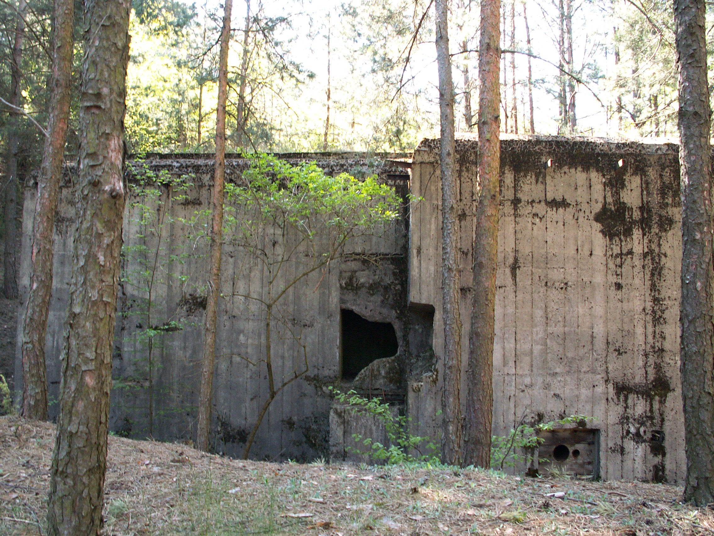
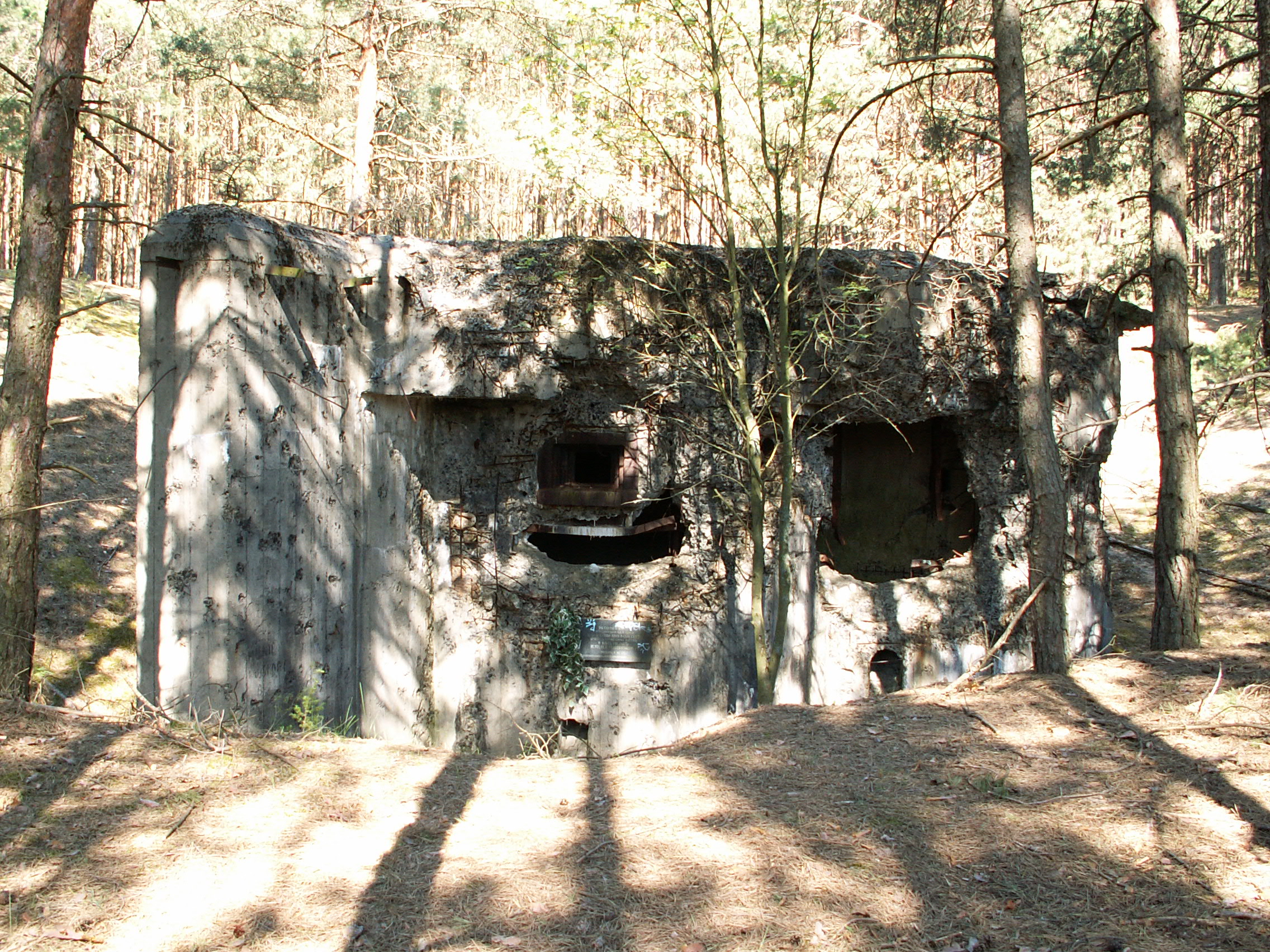
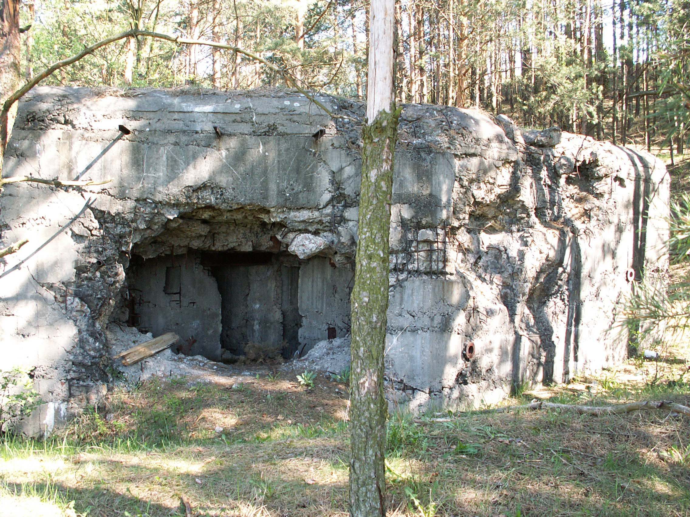
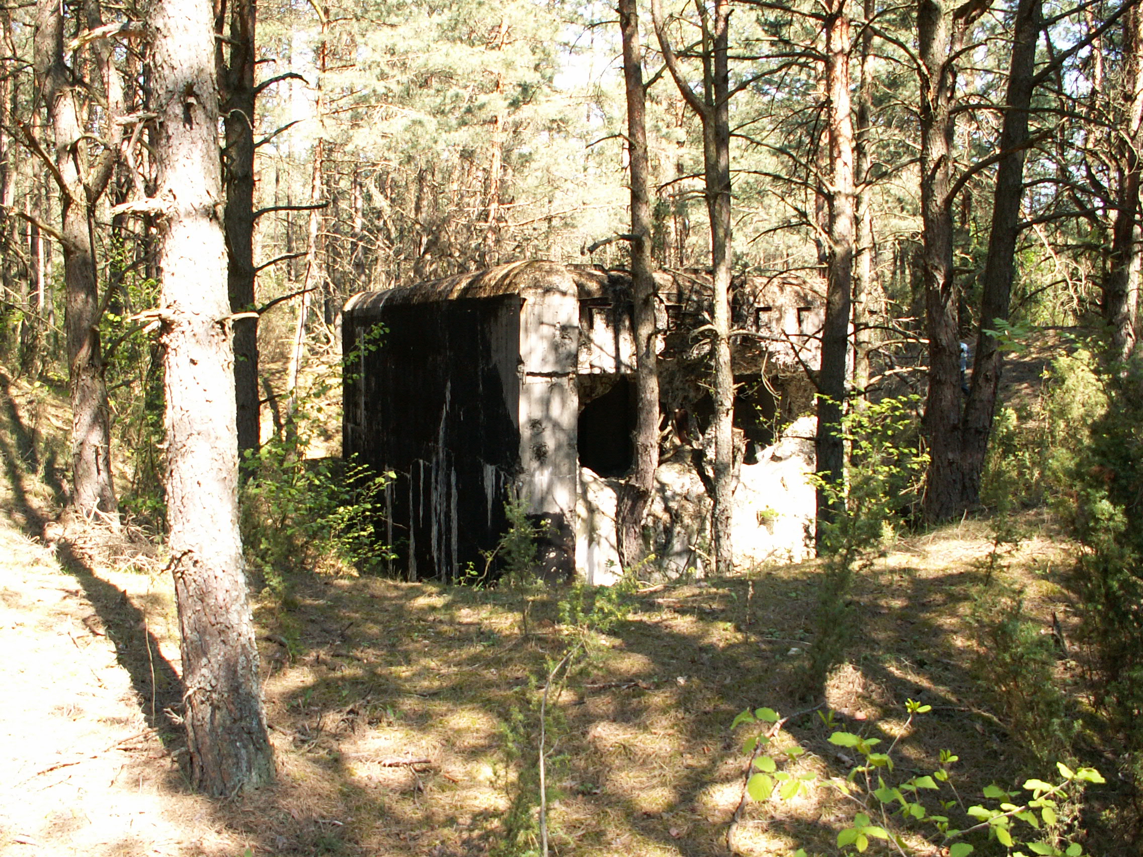
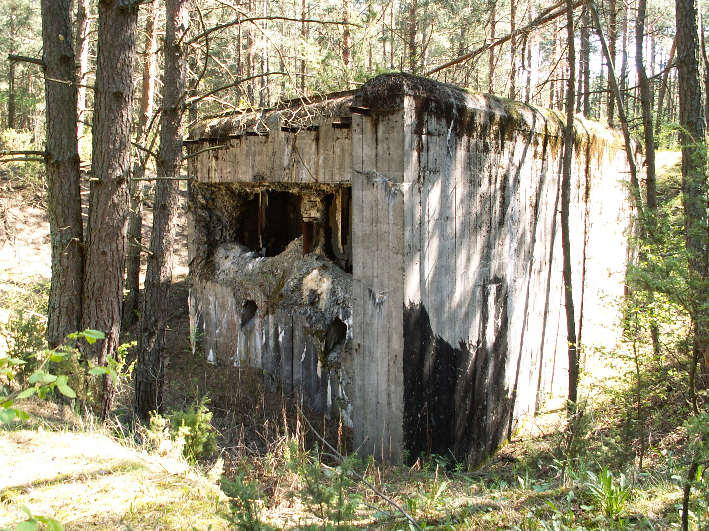
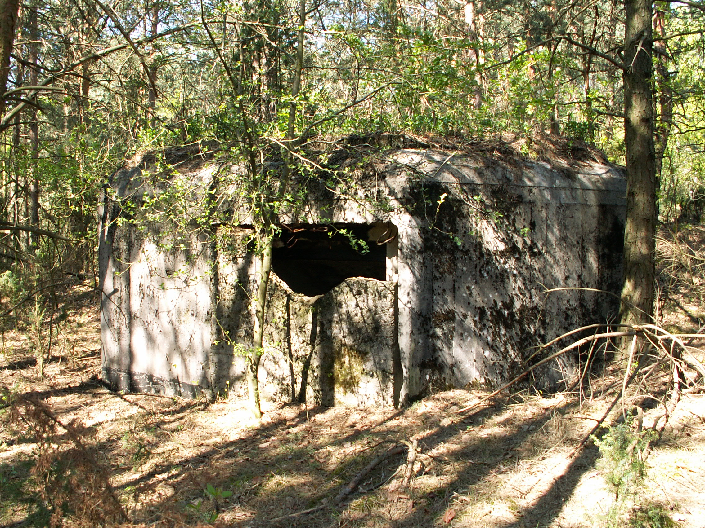
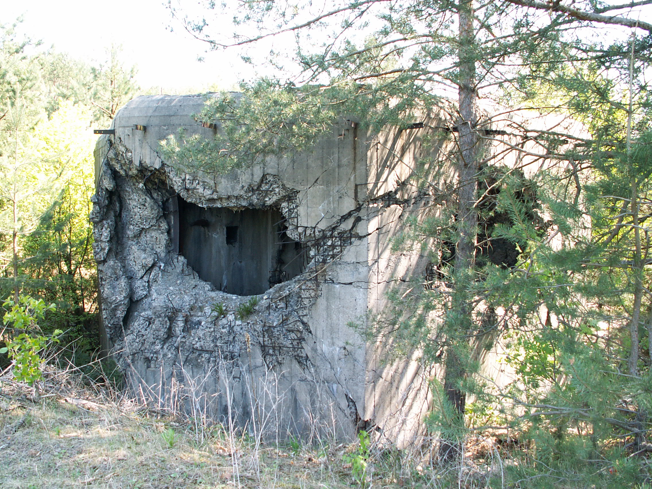
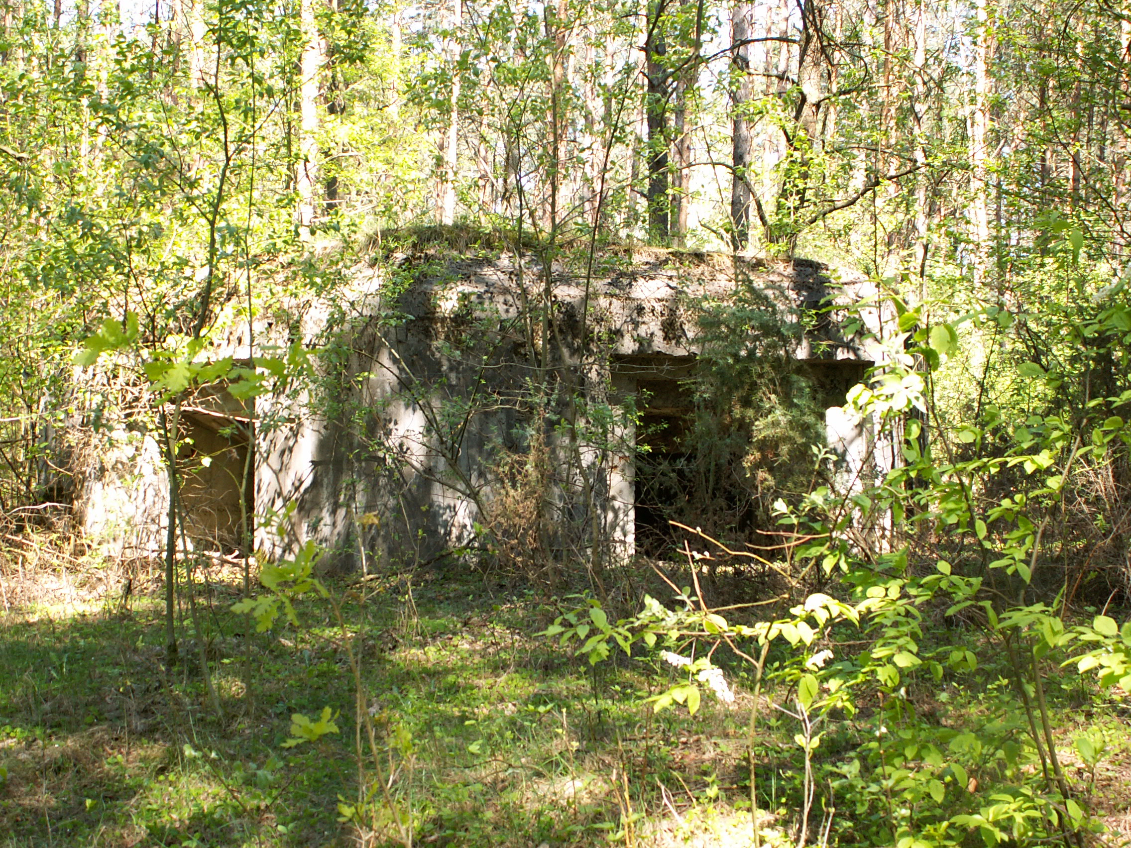
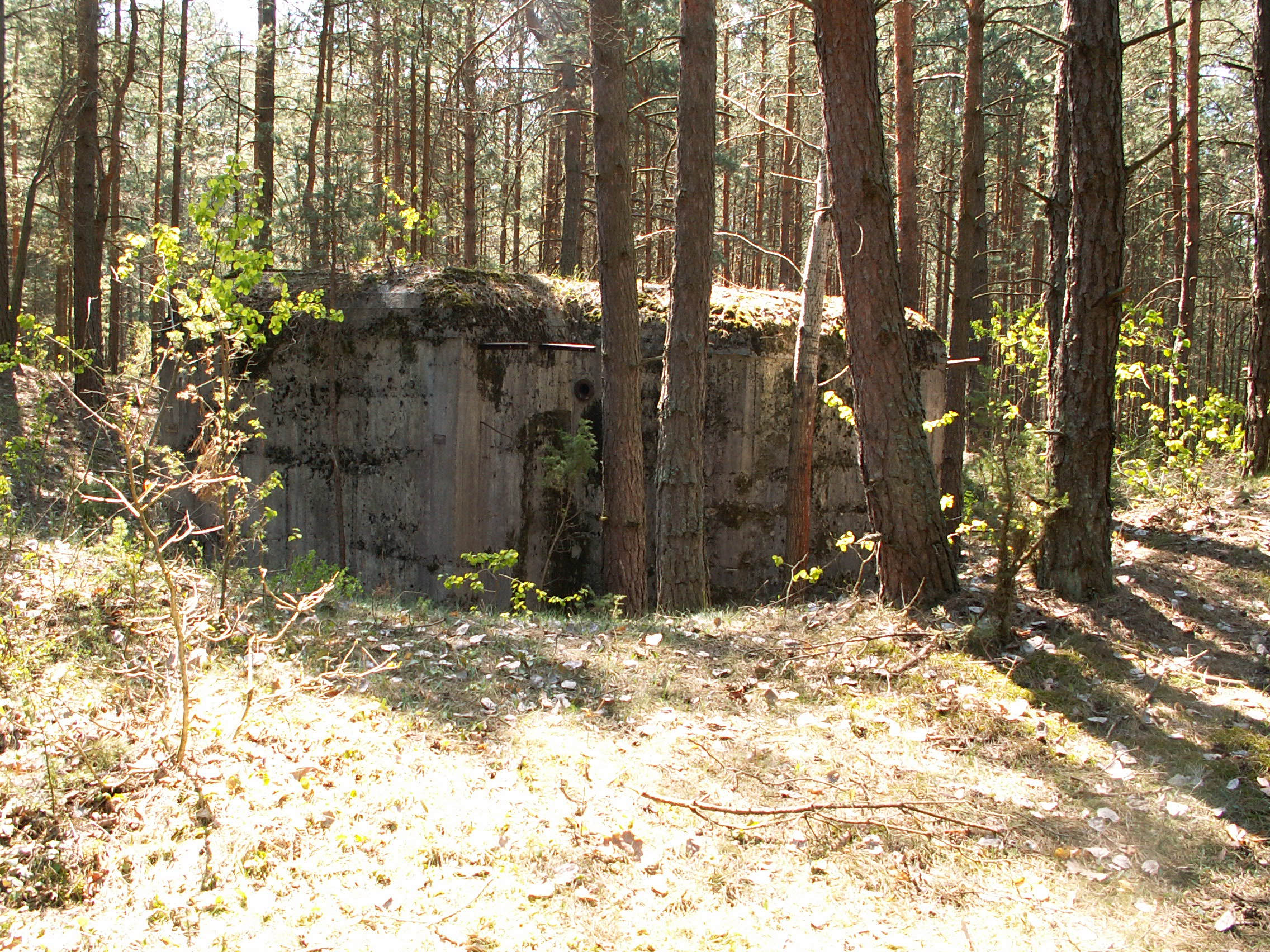
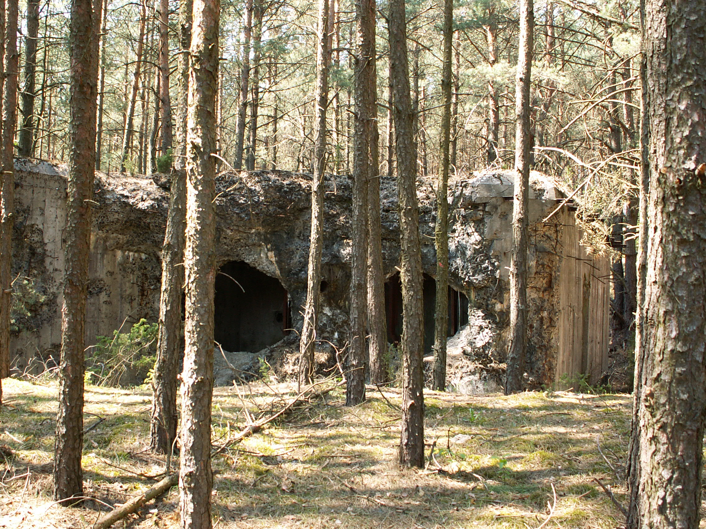
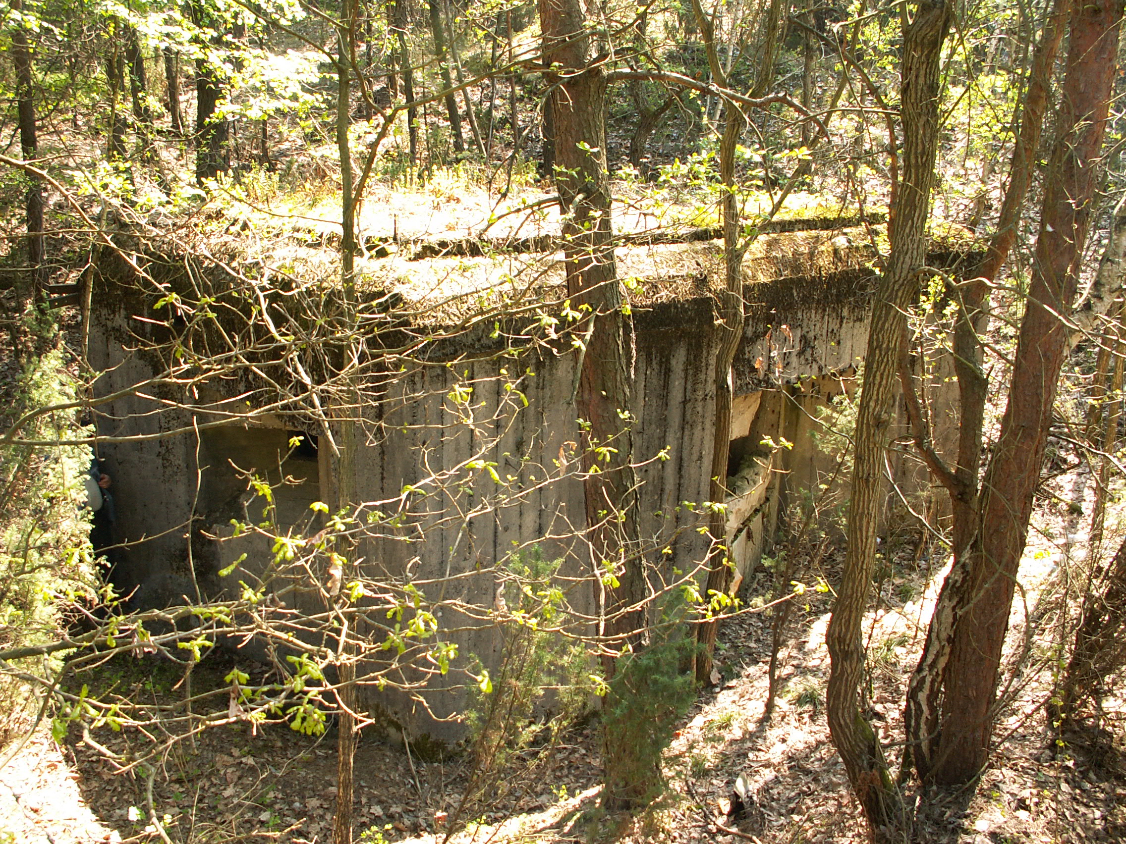
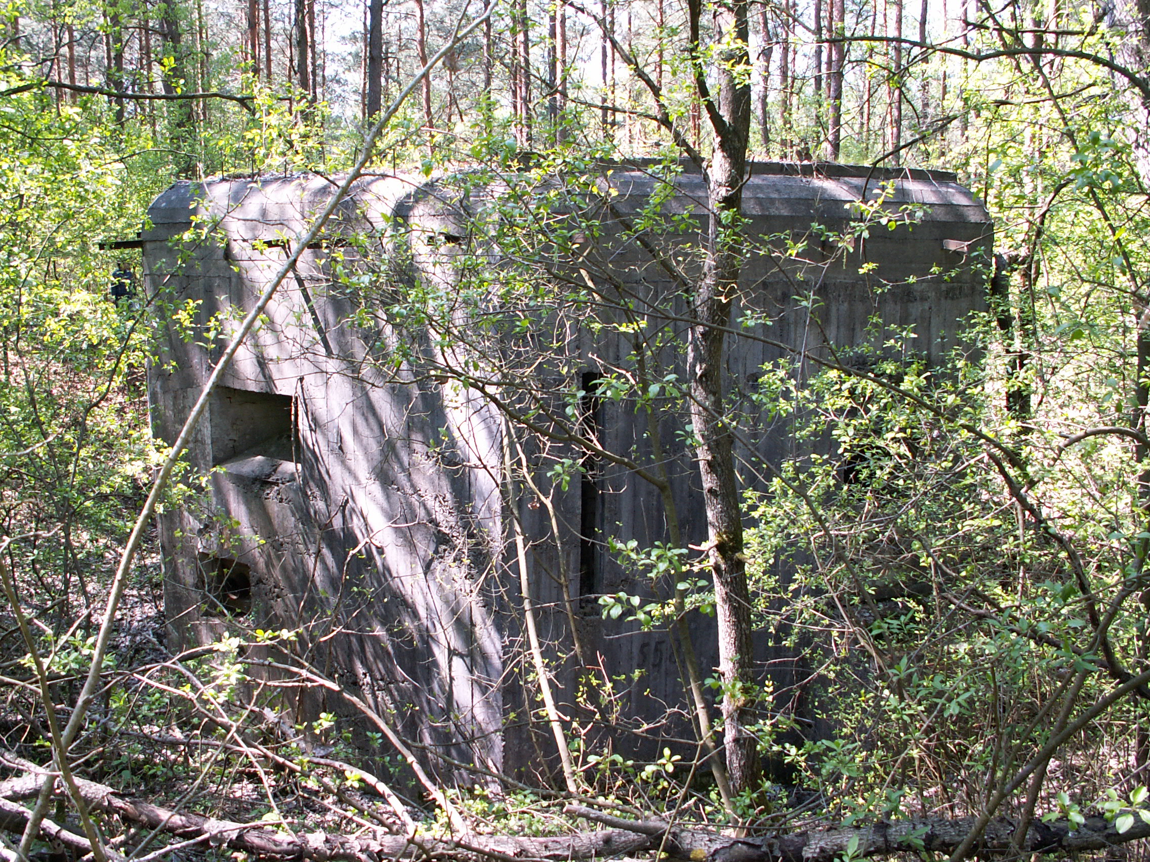
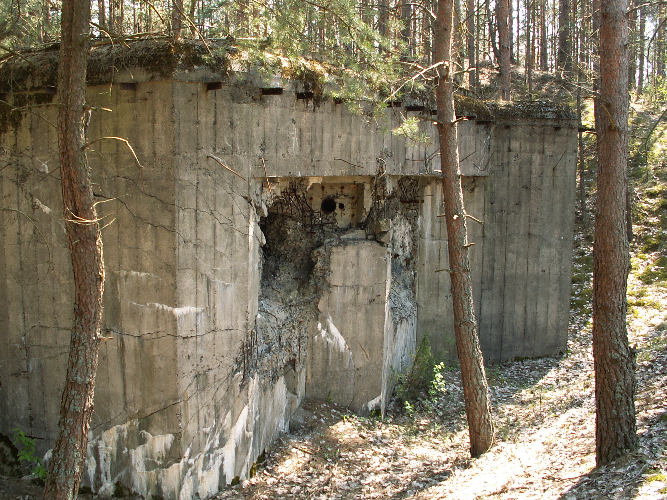
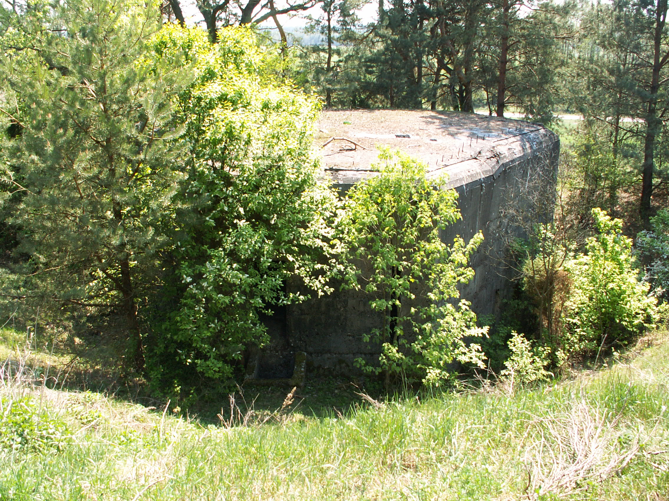
The “Molotov Line” is a fragment of the longest fortification of the 20th century Europe. It is a system of Soviet fortifications along the border with Germany, marked out after the division of Poland in 1939 under the Molotov-Ribbentrop Pact. The “Molotov Line” spread from the pre-war Polish-Romanian border up to the Baltic Sea in the town of Memel (Kłajpeda) in Lithuania. The line consisted of 13 Fortified Regions. Construction of shelters began in summer 1940. The large scale of executed works is shown by the following figures. Around 140 thousand soldiers and almost 18 thousand specialists worked at the construction of fortifications in spring 1941 in addition to thousands of residents of nearby towns and villages forced to join the builders. Until the outbreak of the German-Soviet war in June 1941, 1900 shelters were built, including: 542 shelters for machine weapons, 460 shelters for anti-tank defense, 68 shelters for fortress artillery, 43 shelters of command and 800 buildings remained under construction.
dystans (km)
wysokość m n.p.m.